Other Surveys and MapsGreat Whernside
 Full Size
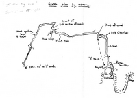
NCC TC2-1 Fog Cave - Great Whernside
 Full Size
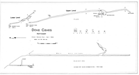
CPC R2 Dove Holes
 Full Size
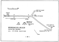
CPC R5 Butchers Rake Level - Conistone Moor
 Full Size
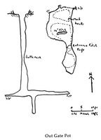
CPC R51 Out Gate Pot
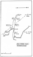 Full Size
CPC R51 Gill House Pot
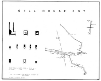 Full Size
CPC 1959 Gill House Pot
 Full Size
CPC R22 Howgill Nick Area
.png) Full Size
Full Size
CPC R24 Howgill Nick (sketch elevation)
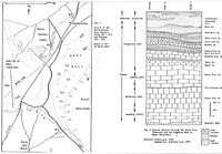 Full Size
CPC R6 Hunterstones Geology
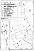
WRPC J2001 Conistone Moor Area Map
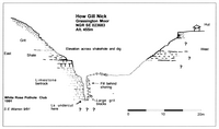
WRPC J2001 How Gill Nick - Grassington Moor
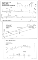
WRPC J2001 Kettlewell Mines
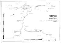
WRPC J2001 Strawberry Pot - Kettlewell
 Old Providence Mine - Middle Level.png)
WRPC NS14-1(1995) Old Providence Mine - Middle Level
 Gentlewomen Level - Kettlewell.png)
WRPC NS14-2(1995) Gentlewomen Level - Kettlewell
 Hooksbank Mine - Kettlewell.png)
WRPC NS15-2(1996) Hooksbank Mine - Kettlewell
 Kettlewell - Dye Testing.png)
WRPC NS16-2(1997) Kettlewell - Dye Testing
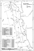
WRPC J1994 Kettlewell Area - Dye Tests
 Old Providence Mine - Kettlewell.png)
WRPC NS13-9(1994) Old Providence Mine - Kettlewell
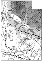
BCRA CStud18 Grassington Moor Area
 Full Size
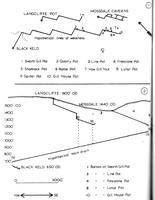
CUCC CU73 Langcliffe Mossdale Area
 Full Size
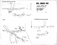
ULSA 1972 Gill House Pot - Great Whernside
 Full Size
 Full Size
 Full Size
 Full Size
 Full Size
 Full Size
 Full Size
.png) Full Size
Full Size
 Full Size


 Old Providence Mine - Middle Level.png)
 Gentlewomen Level - Kettlewell.png)
 Hooksbank Mine - Kettlewell.png)
 Kettlewell - Dye Testing.png)

 Old Providence Mine - Kettlewell.png)

 Full Size
 Full Size